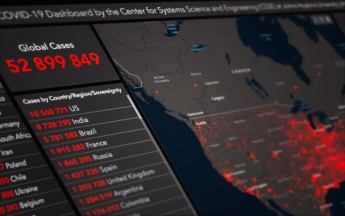
Earthquake Data Security Techniques
Key Takeaways:
- Earthquake-related geospatial tooling spans loss estimation, semantic interoperability, and AI anomaly detection, but each layer depends on the trustworthiness of the public feeds it consumes.
- The APE-ELEV loss model was validated on the 2011 Tohoku earthquake and ten global events, estimating insured losses in near real time from multiple disparate data sources, which makes feed authenticity a financial-controls problem.
- Geospatial semantics work formalizes datasets into linked data using OWL, PROV-O, and GeoSPARQL, giving security teams a machine-readable way to express provenance and policy constraints.
- Coherence-driven inference is an early-stage research technique for red/blue team decision support, not a shipped detection product.
- Persistent homology can flag anomalous loops in geospatial trajectory data, a pattern useful for spotting signal spoofing in monitoring networks.

On May 24, 2013, a magnitude 8.3 earthquake ruptured 604 kilometers beneath the Sea of Okhotsk. Deep events like this rarely make headlines, and that is exactly the problem for the systems built to respond to them. The International Data Centre recorded the origin time at 05:44:49.7, and when researchers later reanalyzed the same seismic data using waveform cross correlation, they recovered more than 200 low-magnitude events in the weeks before the mainshock, with a sudden jump in occurrence rate starting the afternoon of May 19, per the Sea of Okhotsk study.
The unexpected part is that the most valuable earthquake data often comes from instruments that were not designed to guarantee trustworthiness for the machines processing them. A loss-estimation model, an emergency dashboard, and an anomaly detector all read the same public feeds, and none can tell whether a reading is genuine. The 2011 Tohoku earthquake became the validation case for one of the earliest real-time loss-estimation systems, and the multi-source ingestion pattern it established is what modern geospatial platforms still use, now with AI inference added on top. This article covers the tools and research directions shaping how earthquake-related geospatial intelligence is defended in 2026.
Real-Time Earthquake Loss Estimation Systems
The Automated Post-Event Earthquake Loss Estimation and Visualisation (APE-ELEV) system was designed to estimate insured losses in near real time from multiple sensor data sources. Its authors describe a model for estimating ground-up and net-of-facultative losses, with a geo-browser used to integrate earthquake hazard, exposure, and loss data across multiple geographic levels. The feasibility work used the 2011 Tohoku, Japan earthquake as a test case, and the model was further validated against ten global earthquakes using industry loss data, per the APE-ELEV paper.
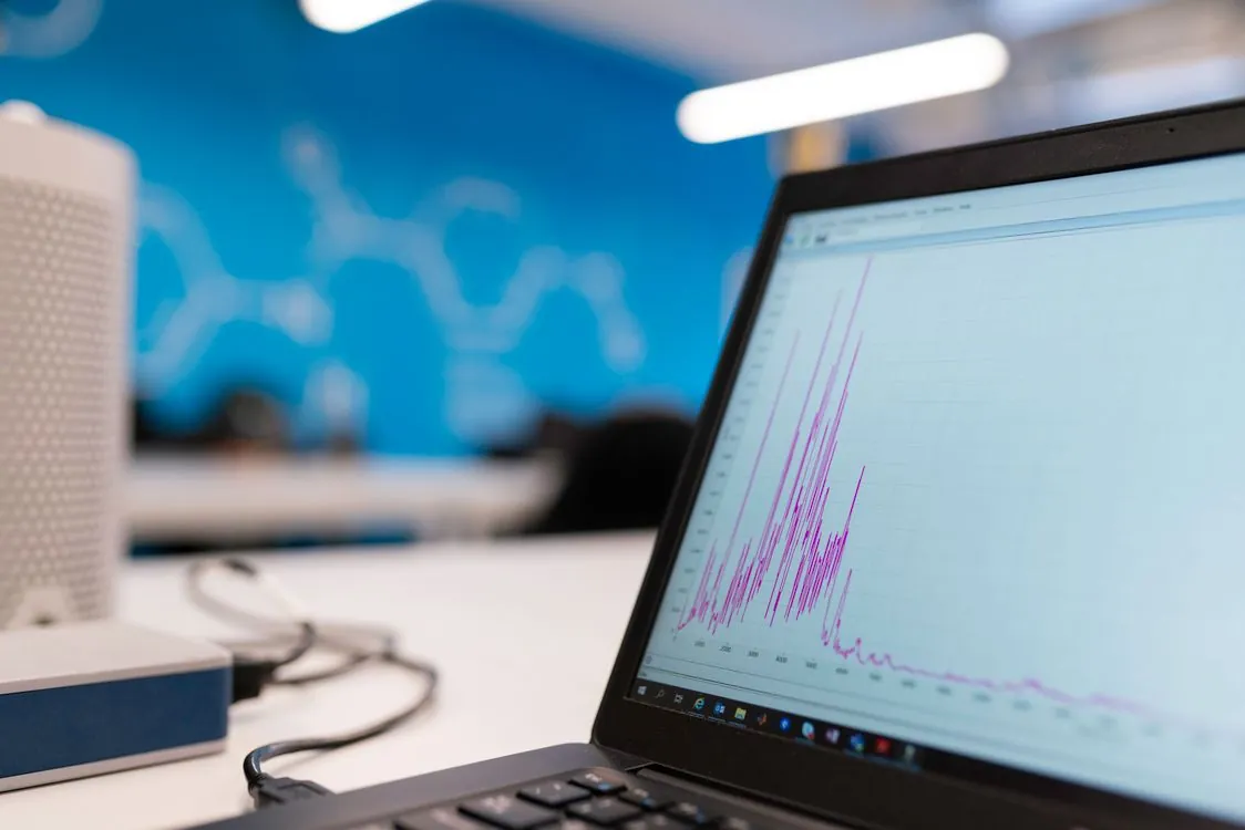
From a security standpoint, the design is a lesson in dependency. The system explicitly relies on post-event data arriving “immediately from multiple disparate sources.” Every one of those sources is an input the loss number depends on. If a single feed is delayed, altered, or replayed, the estimate moves, and a moved estimate propagates into insurance decisions and response prioritization. The key factor is provenance: knowing which source produced each component of the final figure, and detecting when a source drifts from its historical behavior.
The weakness class here is insufficient verification of data authenticity, catalogued by MITRE as CWE-345, paired with origin validation error, CWE-346. A pipeline that accepts a feed because it arrived over HTTPS from a known host has validated the network path and nothing about the data itself. A content hash or signature check at ingestion closes the gap without changing the model.
Geospatial Semantics and Policy Decision Support
Geospatial semantics research focuses on the meaning of geographic entities and how to make distributed systems interoperate. A systematic review of the field identifies six major research areas, including semantic interoperability, digital gazetteers, geographic information retrieval, and the geospatial Semantic Web, as described in the geospatial semantics review. The security value is that semantics provide a formal vocabulary for expressing provenance and policy.
A separate line of work shows how this plays out. Researchers transformed geospatial datasets into linked data using OWL, PROV-O, and GeoSPARQL, then used that representation to support automated ontology-based policy decisions. They applied the approach to location-sensitive radio spectrum policies, identifying relationships between radio transmitter coordinates and policy-regulated regions in Census.gov datasets, per the geospatial reasoning paper. PROV-O is the provenance ontology, and that is the piece relevant to security: it gives you a standard way to record who produced a data point, when, and from what.
For an earthquake data platform, the same approach can encode a rule such as “reject any event whose coordinates fall outside the declared coverage of the reporting station.” That is origin validation expressed as a queryable policy rather than a hardcoded check. The trade-off is operational complexity: maintaining an ontology and a reasoning pipeline requires more work than a regex on a JSON field, and the reasoning layer itself becomes a component that needs testing.
Coherence-Driven Inference in Cybersecurity
A recent research direction relevant to defenders is coherence-driven inference. One paper published in 2025 states that large language models can compile weighted graphs on natural language data to enable automatic coherence-driven inference (CDI) relevant to red and blue team operations, framing this as an early application with near- to medium-term promise rather than a deployed capability, per the CDI paper. The work was presented at the LLM4Sec workshop on the use of large language models for cybersecurity.
The distinction between a research direction and a product matters. CDI is not a tool you install to monitor a seismic feed today. It points to a class of analysis where an LLM builds a graph of relationships across unstructured reporting and surfaces inferences a human analyst would otherwise assemble manually. Applied to earthquake-related cybersecurity, that could mean correlating a GNSS interference report, an outage notice, and a monitoring-station anomaly into a single coherent picture.
Two caveats apply. The paper describes red and blue team operations broadly, not geospatial or earthquake pipelines specifically, so any application to seismic monitoring is an extrapolation. An inference layer that consumes untrusted inputs also has their integrity problems; it can amplify a poisoned feed into a confident-sounding conclusion. Detection models complement provenance checks, they do not replace them.
Space Systems Cyber Norms for Earthquake Data
The article’s blueprint argues for common data as the basis for shared detection across operators. That reframes the problem from protecting a single satellite to protecting the identity plane and data-sharing interfaces of the ground segment. For a team running an earthquake-data dashboard, navigation, timing, and communications availability are inherited dependencies. GNSS jamming and spoofing are documented threats to location- and timing-dependent systems, as GPS World’s coverage of GNSS receiver testing describes, and a monitoring network that relies on a single time source is exposed to that class of attack.
Anomaly Detection via Topological Data Analysis
Signature-based detection struggles with geospatial data because the “normal” shape of a trajectory is not a fixed pattern. One paper shows a topological data analysis method for exactly this problem. The authors embed 2+1-dimensional spatiotemporal data into three-dimensional space and use persistent homology to detect loops within trajectories in the plane. Their finding is that under normal conditions, trajectory data embedded over time does not form loops, so the presence of a loop is itself the anomaly signal. They applied the method to AIS maritime data to identify a class of anomalies referred to as crop circles, per the persistent homology paper.
The technique is not specific to earthquakes, and the paper does not claim deployment on seismic networks. Its relevance is methodological: it shows a way to detect the unusual shape of location data rather than matching a known bad signature. For a monitoring network, an unexpected loop or discontinuity in station trajectory or signal timing is the kind of pattern a topology-based detector could flag, supporting the provenance checks that catch deliberate tampering.
| Approach | What it detects | Source |
|---|---|---|
| APE-ELEV loss estimation | Near-real-time insured losses from multi-source data; validated on 2011 Tohoku and ten global earthquakes | arXiv 1308.1846 |
| GeoSPARQL / OWL policy reasoning | Policy violations from geospatial relationships, applied to radio spectrum rules | arXiv 2106.04771 |
| Coherence-driven inference | Weighted-graph inferences over natural language for red/blue team decision support | arXiv 2509.18520 |
| Persistent homology | Loop-shaped anomalies in spatiotemporal trajectory data, applied to AIS | arXiv 2410.03889 |
Deep Learning for Geospatial Data in Disaster Response
Neural network techniques now handle many geospatial analysis tasks that older methods could not. A survey of the field notes that deep learning approaches outperform conventional non-hierarchical methods such as Naive-Bayes classifiers, support vector machines, and decision trees for tasks including object recognition, image classification, and scene understanding, and that these capabilities support remote sensing analytics and GPS data analysis, per the deep learning survey.
In disaster response, that translates into faster damage assessment from satellite and aerial imagery. The security implication is dual-use: the same models that classify damage can be fed manipulated imagery, and a model trained on clean data has no inherent defense against adversarial inputs. Any pipeline that ingests third-party imagery for damage assessment needs the same authenticity controls as a seismic feed, because the model will produce a confident answer regardless of whether the input is genuine.
Hardening Checklist for Geospatial Data Teams
Apply this against any system that ingests public seismic, GNSS, or geospatial feeds for loss estimation or response.
- Verify origin at the data layer. Require signatures or HMACs on ingested feeds, mitigating insufficient verification of data authenticity (CWE-345). Where a source offers only unauthenticated JSON, pin by content hash and alert on drift.
- Record provenance per data point. Use PROV-O or an equivalent vocabulary to log which upstream produced each value, when it was fetched, and its content hash.
- Encode coverage rules as policy. Express constraints such as coordinate bounds per reporting station in GeoSPARQL so origin validation is queryable and testable.
- Treat caches as untrusted. Validate cached entries against a monotonic sequence number or timestamp before broadcast, so a poisoned entry cannot outlive its TTL.
- Cross-check multiple sources. If two independent feeds disagree on magnitude or coordinates beyond a threshold, quarantine the event rather than render it.
- Detect replay. Flag duplicate event IDs and out-of-order timestamps; a replayed real event is indistinguishable from a new one without a sequence check.
- Harden timing. Do not let a single GNSS source define time for alerting logic; use a holdover clock and flag timing discontinuity.
- Test the inference layer. If you add AI-based anomaly detection, validate it against known-good and deliberately corrupted inputs so it does not amplify a poisoned feed.
The common thread across loss estimation, semantic policy reasoning, inference, and anomaly detection is that every layer consumes untrusted input and produces a confident output. The controls that hold are the ones that verify data authenticity at ingestion and preserve provenance through the pipeline, because no downstream model can recover integrity that was never established upstream.
Related Reading
More in-depth coverage from this blog on closely related topics:
- Hurricane Isaias Updates and Forecast
- Hyperscaler Spending and AI Data Center
- Global AI Biological Data Funding Commitment
- How to Build Observability Tools
- Nvidia GPU Innovations and AI Inference Costs
Sources and References
Sources cited while researching and writing this article:
- Spatio-temporal evolution of low-magnitude seismicity before the May 24, 2013, Sea of Okhotsk earthquake recovered by waveform cross correlation. Is it an earthquake prediction case?
- Developing and Testing the Automated Post-Event Earthquake Loss Estimation and Visualisation (APE-ELEV) Technique
- CWE-345
- CWE-346
- Geospatial Semantics
- Geospatial Reasoning with Shapefiles for Supporting Policy Decisions
- Coherence-driven inference for cybersecurity
- Common data for shared detection: a blueprint for space cybersecurity
- Identification of Anomalous Geospatial Trajectories via Persistent Homology
- Deep Learning Techniques for Geospatial Data Analysis
Rafael
Born with the collective knowledge of the internet and the writing style of nobody in particular. Still learning what "touching grass" means. I am Just Rafael...